
MapmyIndia Move: Your India Travel Companion
Overview
MapmyIndia Move is a desktop-based navigation and mapping application designed to serve as a comprehensive travel guide across the Indian subcontinent. Built for users seeking a localized alternative to global mapping platforms, it enables precise location searches using eLoc codes or manual address input. The software aims to simplify travel planning and daily navigation with integrated tools tailored to Indian geography and urban infrastructure. Its primary purpose is to provide accurate, region-specific routing, real-time location tracking, and historical activity review for users traveling within India.
Target users include commuters, travelers, delivery personnel, and professionals who require detailed local mapping data. The application supports both Windows and Mac operating systems, making it accessible to a broad desktop user base. Real-world usage scenarios range from finding parking spots in congested cities to reviewing daily commutes and planning multi-stop routes. While the developer did not provide additional details about the underlying data sources or update frequency, the software’s focus on Indian-specific features suggests strong localization and regional relevance.
Key Features & Capabilities
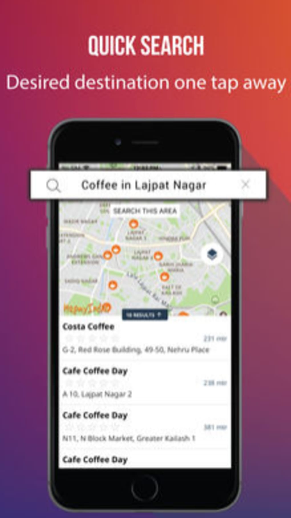
- eLoc Code Search: Allows users to locate any point in India using a unique eLoc identifier, enabling fast and precise navigation without relying on full addresses.
- Manual Address Input: Supports free-form text entry for locations, ideal for users familiar with local naming conventions or those navigating remote areas.
- Parking Space Finder: A dedicated tool to locate available parking spots, particularly useful in high-density urban centers where parking is limited.
- Bhuvan Satellite View: Integrates high-resolution satellite imagery from India’s Bhuvan platform, offering detailed terrain and infrastructure visualization.
- Daily Activity Tracking: Enables users to review their past movements, helping with route optimization and travel pattern analysis.
These features collectively support efficient urban navigation, trip planning, and personal mobility tracking. For instance, a delivery driver can use eLoc codes to reach remote locations quickly, while a daily commuter can analyze their travel history to adjust routes. The integration of satellite imagery enhances situational awareness, especially in rural or under-mapped regions. The developer did not specify whether data is updated in real time or how frequently the satellite layer is refreshed.
User Interface, Workflow & Performance
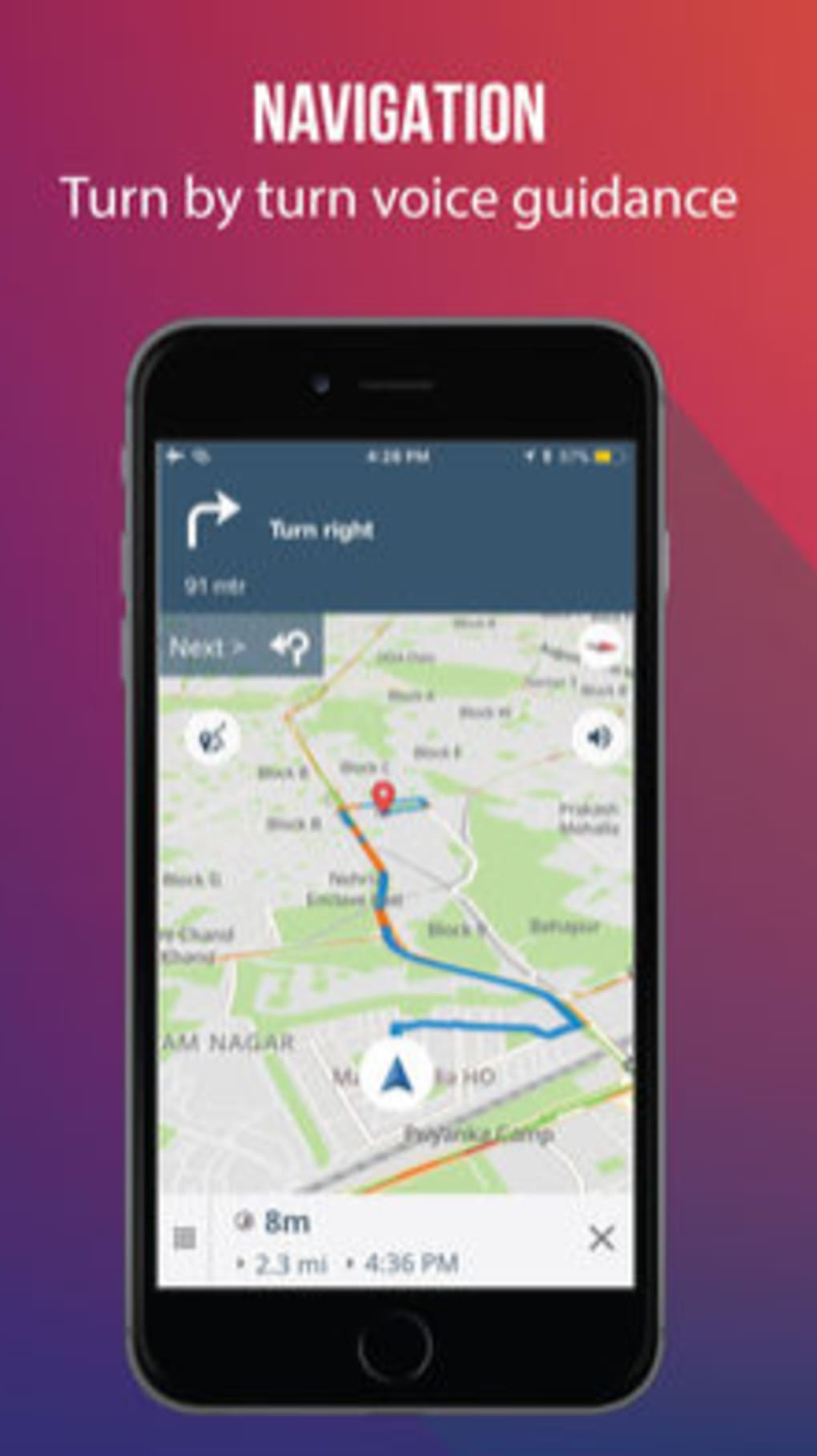
The user interface of MapmyIndia Move is designed for simplicity and intuitive navigation. Users can access core functions—search, map view, and activity history—through a clean, menu-driven layout. The workflow begins with location input via eLoc code or address, followed by route calculation and map visualization. The application appears optimized for desktop use, with responsive controls and scalable map layers.
Navigation is straightforward, with clearly labeled tools and minimal onboarding steps. The software does not appear to require complex setup, making it accessible to non-technical users. However, exact performance details were not specified.
The developer did not provide information on CPU or RAM consumption during operation. Performance observations are based on general software behavior patterns. Stability during extended sessions and responsiveness under high map load remain unverified.
Users may experience varying performance depending on system configuration and internet connectivity.
Compatibility & System Requirements
MapmyIndia Move is available for both Windows and Mac operating systems, supporting desktop environments on these platforms. The software version is 2.0.1, with a file size of 350 MB, indicating a moderately sized installation. This suggests the application includes substantial data, such as map tiles, satellite imagery, and feature layers.
Exact system requirements were not listed by the developer. This includes details on minimum processor speed, RAM, or available disk space beyond the installation size. Compatibility information is limited to the operating systems mentioned. Users are advised to ensure their systems meet general desktop software standards. The developer did not specify whether the application supports older OS versions or requires a specific graphics driver.
Pros and Cons
Pros
- Free to download and use, with no hidden costs
- Specialized for Indian geography with localized features
- Supports eLoc code input for precise location access
- Includes satellite imagery via Bhuvan platform
- Offers daily activity tracking for route analysis
Cons
- Developer did not provide detailed system requirements
- Performance resource usage was not disclosed
- Limited compatibility information beyond OS names
- No public information on update frequency or release cycle
- Offline functionality details were not specified
FAQ Section
Is MapmyIndia Move available for both Windows and Mac?
Yes, the software is compatible with both Windows and Mac operating systems as stated by the developer.
Is the software free to use?
Yes, MapmyIndia Move is offered at no cost, with no subscription or in-app purchase requirements.
Can I use MapmyIndia Move without an internet connection?
The developer did not specify whether offline functionality is supported. Users may need an active connection for full features.
How often are map updates released?
Exact update frequency was not provided by the developer. Users should check the official website for the latest version.
What type of license does MapmyIndia Move use?
The software is distributed as free software, but the specific license type was not disclosed.
Final Thoughts
MapmyIndia Move stands out as a focused, region-specific desktop mapping solution tailored for users navigating the Indian subcontinent. Its integration of eLoc codes, satellite views, and daily activity tracking offers practical advantages over generic navigation tools. While system requirements and performance metrics remain unspecified, the application’s free model and platform availability make it accessible to a wide audience.
It is particularly beneficial for professionals, travelers, and daily commuters who rely on accurate, localized data. The inclusion of Bhuvan satellite imagery enhances mapping accuracy in both urban and remote areas. Despite limited technical transparency, the software delivers a clear value proposition: a dependable, India-first navigation tool.
Download MapmyIndia Move now